Mt. Aizu-Komagatake climbing record
For this climb Exertion Level:★★☆☆☆ Difficulty Level:★☆☆☆☆ Scenic Level:★★☆☆☆
For this climb
Exertion Level:★★☆☆☆
Difficulty Level:★☆☆☆☆
Scenic Level:★★☆☆☆
This Mountain's Information
- □ Altitude:2,132m
- □ Location:Hinoemata, Fukushima Prefecture (Click to view larger map)
Schedule
- □ Duration:1 Day
- □ Term of Climbing:11.12.2016 ~ 11.12.2016
- □ Date at Summit: 11.12.2016
Weather
- □ Weather:Cloudy
- □ Highest Temperature:9.0°C
- □ Lowest Temperature:0.0°C
Climbing Course
- □ Distance:10.7km
- □ Cumulative Elevation:1,200m
- □ Course:Takizawa Course
- □ Further Information:The steep path lasts for 15 minutes at the start of the climb. After that, it was so easy to climb. I suppose this course is completely intended for beginners.
Approach to Starting Point
- □ Transportation:Car
- □ Time to Starting Point:About 4 hours one way from Omiya
- □ Further Information:From Omiya to Takizawa Climbing Enterance via Tohoku highway
※ The day before I climbed, I stayed in my car at the roadside station of Tajima. There was a clean toilet had been heating by heated. It was so nice, comfortable place for car-stay.
Location
The Map of Climbing Course

Altitude × Temperature

Download GPS Data
My Impressions
Mt. Aizu-Komagatake is one of the 100 Famous Mountains in Japan. Every summer season, this mountain is crowded with lots of climbers. So, I chose this season to climb, because I really don't like crowded mountains. Here three prefecture borders meet and located far from highways or cities. Therefore, it took a lot of time to get there and I was exhausted by the long drive. For that reason, I planned to stay one night before climbing.
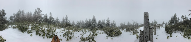
The forecast said the weather would gradually be fine as time goes by, but it was completely whited out. Actually, I could see the blue sky after my climb. Except for the bad weather, this climb was successful. And In terms of patience, I'm proud of myself. -- I didn't bring my equipment for snow because I didn’t expect it was covered with snow. I put on shoes for summer, so it put on summer my shoes, and they were not tall enough to avoid snow in my shoes. Under the these severe conditions, I didn't give up. I was confident that I would not fail this climb.
The forecast said the weather would gradually be fine as time goes by, but it was completely whited out. Actually, I could see the blue sky after my climb. Except for the bad weather, this climb was successful. And In terms of patience, I'm proud of myself. -- I didn't bring my equipment for snow because I didn’t expect it was covered with snow. I put on shoes for summer, so it put on summer my shoes, and they were not tall enough to avoid snow in my shoes. Under the these severe conditions, I didn't give up. I was confident that I would not fail this climb.
Video Gallery
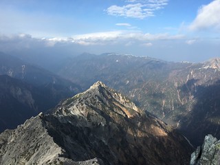
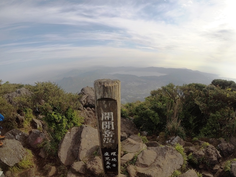
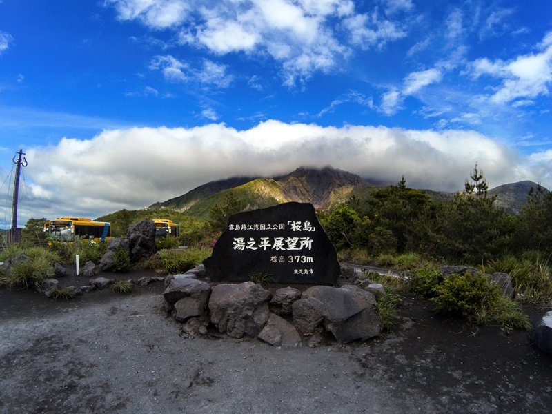
Photo Gallery
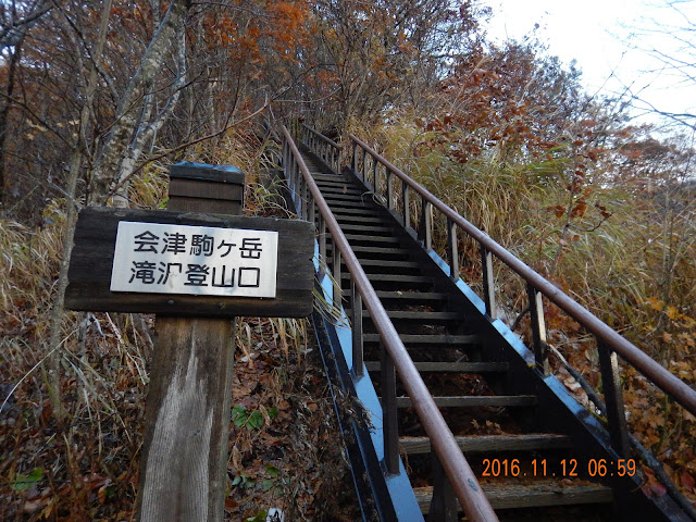
Get started!
These situations were expected. I was not a big deal.
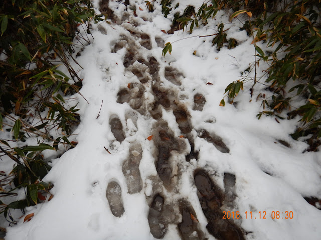
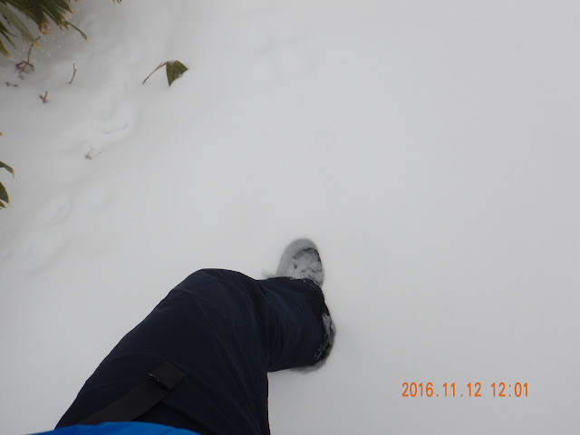
When did it snow?!?!
Hang on! I'm not ready to climb the mountains covered with snow!
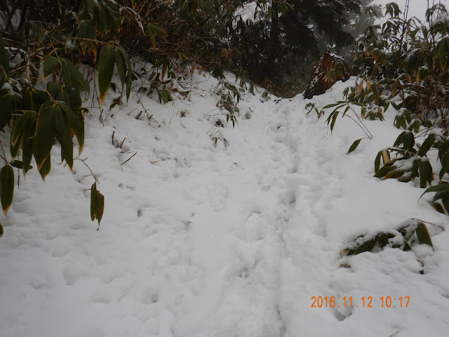
Before me, two people walked so I didn't have to pay attention to find the climbing path.
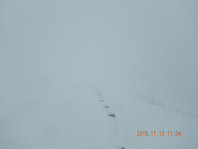
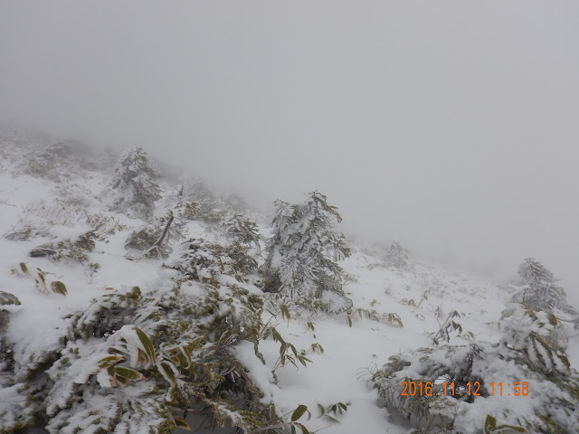
This is a situation called white-out. But I don't care about that. Just do it.
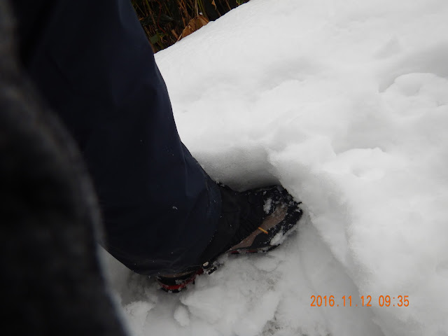
Here it is pretty much snow. My socks got completely wet.
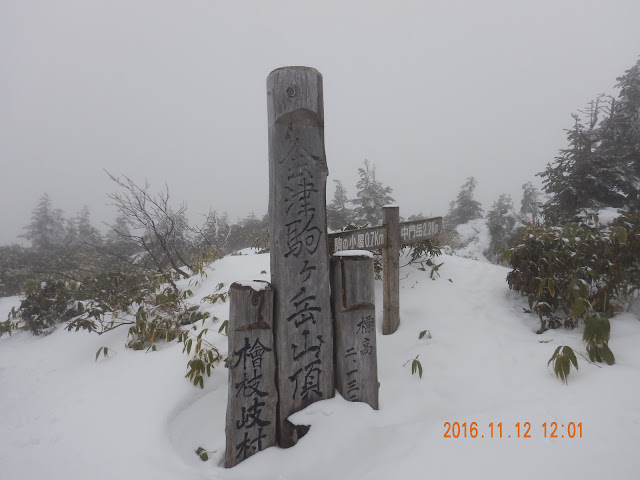
I was so happy succeeding this climb under the bad conditions. Next time, I want to enjoy the scenery.
Feel good! Soft snow is the best!
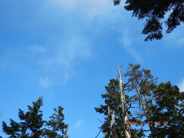
Finally, the blue sky came! You were so late!
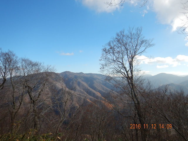
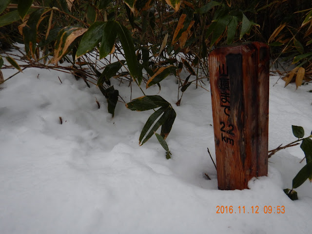
Should I go back to the summit to enjoy the scenery? That's a big deal for me, even if I have enough time.