Mt. Arashimadake climbing record
For this climb Exertion Level:★★☆☆☆ Difficulty Level:★☆☆☆☆ Scenic Level:★★☆☆☆
For this climb
Exertion Level:★★☆☆☆
Difficulty Level:★☆☆☆☆
Scenic Level:★★☆☆☆

This Mountain's Information
Schedule
- □ Duration:1 Day
- □ Term of Climbing:05.01.2017 ~ 05.01.2017
- □ Date at Summit: 05.01.2017
Weather
- □ Weather:Rainy
- □ Highest Temperature:14.0°C
- □ Lowest Temperature:10.0°C
Climbing Course
- □ Distance:9.5km
- □ Cumulative Elevation:1,150m
- □ Course:Kadohara Course
- □ Further Information:Time Schedule : 05:20 Kadohara parking lot - 07:28 Shakunage-Daira - 08:30 Mt. Arashimadake summit - 09:27 Shakunage-Daira - 10:40 Kadohara parking lot
※ There are two main courses, the Kadohara course and Nakande course. I recommend to use the Kadohara course because there are fewer up and down paths and it’s to get to the summit.
Approach to Starting Point
- □ Transportation:Car
- □ Time to Starting Point:About 3 hours one way by car
- □ Further Information:From Maihara station of Shiga prefecture to Kadohara station of Fukui prefecture.
※ I did a car-stay at the starting point of the climb. Kadohara course offers free parking and a clean restroom.
Location
The Map of Climbing Course

Altitude × Temperature

Download GPS Data
My Impressions
I am kind of unfamiliar about areas like Fukui prefecture or Gifu prefecture, so I didn't know much about Mt. Arashimadake. The only reason that I decided to climb this mountain is that it is one of the 100 famous mountains in Japan. I had plans to climb some mountains near here like Mt. Ibuki and Mt. Ena using my long ‘Golden Week’ vacation, so it was a good chance to stop by in this area
In spite of being one of the 100 famous mountains, this mountain is not well-known and there isn’t much information on the web, so it was hard to decide the best course for the climb. I think there are two main courses called Kadohara and Nakande. The first one is more popular than second one. I suppose the reason is that we can get to the entrance of the climb by train and the course is shorter. So, I chose the Kadohara course for my climb. In the end, when I reached the ridge, I could see that the Nakande course looks longer with more up-and-down paths. But, if you want to avoid the crowds, Nakande course is better.
Personally, I can't understand why it has been designated as one of the 100 famous mountains in Japan. The path and scenery are nothing special. During my climb, I felt bored. Because of the bad weather, I couldn't enjoy the views, but someone said this was the best place to view Mt. Haku. I know how beautiful Mt. Haku is, because I climbed it last year. But, I don't think I will climb it again even if the weather is nice. It is so far from here and there are other options, more beautiful and enjoyable mountains that are also nearer for me.
Video Gallery
Photo Gallery

It is a toilet. It is necessary for car-stay. Thanks for clean toilet.

This path was a former ski resort, so there are no trees.

Some part of ski resort facility was abandoned. Is that OK?

If the weather was good, I'd see the view of Mt. Haku. That's a shame.
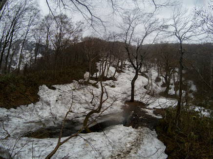
The snow have remained, but I didn't need to use my crampons.

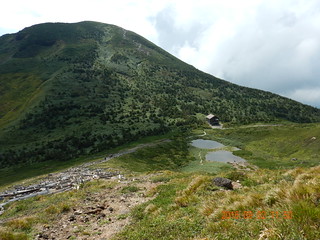
Here's Shakunage-daira. I could see the summit.

That summit looks close, but there were some up and down path, so it took time than expected.
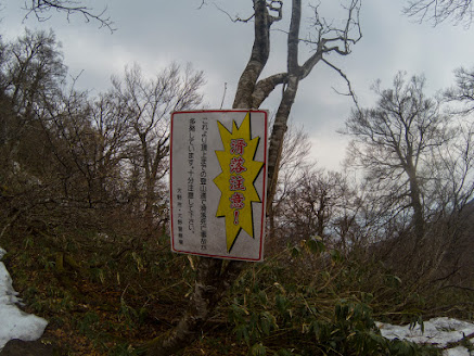
The sign was warning for slipping down. But I didn't have a idea where is dangerous. There were no point to slip down.

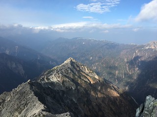
I love the shape of valley. The valley was so long that I couldn't the end of valley.

I almost got to the summit.

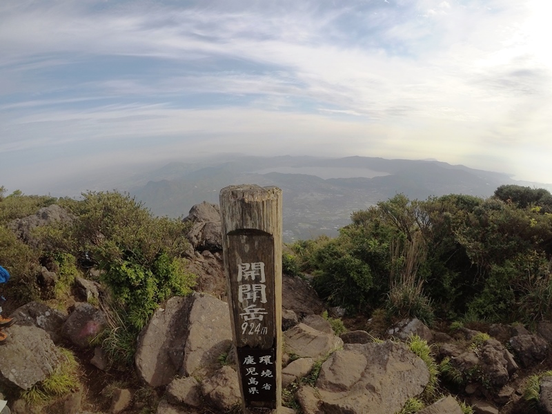
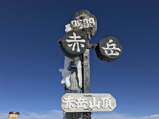
This is the summit of Mt. Arashimadake.

My GoPro was taking a time-lapse video while I had took a break.

I could see Mt. Haku, but not cleared.

Bye! See you again.

Spring's coming!!!

What's the name? I'm not my specialized in flowers. I'm just climber.
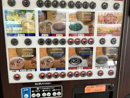
I couldn't believe that I could buy a coffee with the cost of just 100 Yen. But the taste was worst.