I’m still working on English translations for all my posts, but if you can’t wait, you can learn Japanese!
《 Legend 》
* : 100 famous mountains of Japan
: Unable to Summit
【2022】
FAB Yugawara-Makuiwa, RockClibming (626m) NagasawaRock, RockClibming (0m) Kogashiyama, RockClibming (582m) NagasawaRock, RockClibming (0m) NagasawaRock, RockClibming (0m) NagasawaRock, RockClibming (0m) Kogashiyama, RockClibming (582m) Kogashiyama, RockClibming (582m)
JAN NagasawaRock, RockClibming (0m) NagasawaRock, RockClibming (0m) Kogashiyama, RockClibming (582m) NagasawaRock, RockClibming (0m) NagasawaRock, RockClibming (0m) Yugawara-Makuiwa, RockClibming (626m) Aoba, RockClibming (120m) Aoba, RockClibming (120m)
【2021】
DEC Kogashiyama, RockClibming (582m) Aoba, RockClibming (120m) Aoba, RockClibming (120m) Aoba, RockClibming (120m) NagasawaRock, RockClibming (0m) NagasawaRock, RockClibming (0m) Aoba, RockClibming (120m) Aoba, RockClibming (120m) NagasawaRock, RockClibming (0m) Yugawara-Makuiwa, RockClibming (626m) Yugawara-Makuiwa, RockClibming (626m)
NOV NagasawaRock, RockClibming (0m) NagasawaRock, RockClibming (0m) Aizu-Tajima (0m) Kogashiyama, RockClibming (582m) Joyama, RockClibming (342m) Kogashiyama, RockClibming (582m) Kogashiyama, RockClibming (582m) Kogashiyama, RockClibming (582m)
OCT Ugawa, RockClimbing (0m) Kofumakuiwa, RockClimbing (1,300m) Kabutoiwa, RockClimbing (667m) Kogashiyama, RockClimbing (582m) Kogashiyama, RockClimbing (582m)
SEP Harunakuroiwa, RockClimbing (0m) Kogashiyama, RockClibming (582m) Kogashiyama, RockClibming (582m) Ugawa, RockCrimbing (0m) Ogawayama, RockClimbing (2,418m) Kogashiyama, RockClibming (582m) Sakushiga Ipponsugi, RockClimbing (500m)
AUG Ogawayama, RockClimbing (2,418m) Kogashiyama, RockClibming (582m) Kogashiyama, RockClibming (582m) Mizugaki Kasameri Valley, RockClimbing (1,600m) Ogawayama, RockClimbing (2,418m) Kogashiyama, RockClibming
(582m) ShibasakiRock, RockClimbing
(800m)
JUL Harunakuroiwa, RockClimbing (1,449m) Kogashiyama, RockClibming (582m) Kogashiyama, RockClibming (582m) Ogawayama, RockClimbing (2,418m) Mizugaki Kasameri Valley, RockClimbing (1,600m) Ogawayama, RockClimbing (2,418m)
JUN Ogawayama, RockClimbing (2,418m) Hiwadayama, RockClimbing (305m) Ogawayama, RockClimbing (2,418m) Shoniniwa, RockClimbing (842m) Hiwadayama, RockClimbing (305m)
MAY Hiwadayama, RockClimbing (305m)
APR Tokuswa (0m) Mt. Tanigawa (1,977m) Mt. Tanigawa (1,977m)
FAB Happo (0m) Mt. Kenashi (1,650m) Mt. Tounodake (1,491m)
JAN Mt. Tounodake (1,491m) Mt. Tounodake (1,491m)
【2020】
DEC Kamikochi (0m) Mt. Tanigawa (1,977m)
【2019】
MAY Nishizawa Valley (1,250m)
【2018】
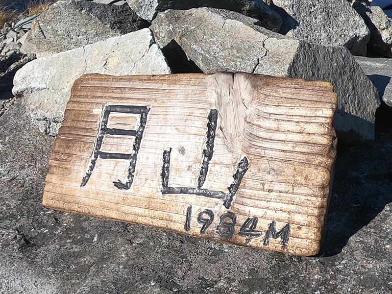
OCT Mt. Zao (Kumanodake) (1,840m)* Mt. Gassan (1,984m)*
AUG Mt. Sannoto-Tonodake-Nabewari (1,491m)*
MAY Mt. Tonodake (1,491m)*
【2017】
DEC Mt. Tanigawa (1,977m)*
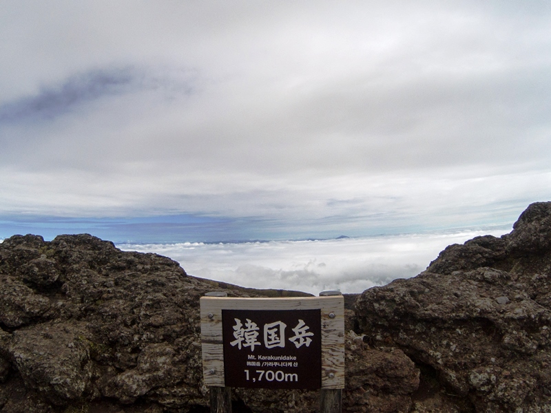
MAY Mt. Kaimondake (924m)* Mt. Aso (1,592m)* Mt. Karakunidake of Kirishima (1,700m)* Mt. Sakurajima (1,117m) Mt. Ena (2,191m)* Mt. Arashimadake (1,523m)*
APR Mt. Ibuki (1,377m)* Mt. Yakedake (2,455m)*
MAR Mt. Senjogatake (3,033m)*
FAB Mt. Kiso-Komagatake (2,956m)*
JAN Mt. Tanigawadake (1,977m)* Mt. Nyoho (2,303m) Mt. Yatsugatake (2,899m)*
【2016】
DEC Mt. Jonendake (2,857m)*↓ Mt. Yakedake (2,455m)*↓ Mt. Tanigawa-Bateikei (1,945m)*
NOV Mt. Aizu-Komagatake (2,132m)* Mt. Sukai (2,144m)* Mt. Nyoho (2,463m)
OCT Mt. Daisen (1,729m)* Mt. Echigo-sanzan (2,085m)* Mt. Takatsuma (2,353m)* Mt. Amagi (1,406m)*
SEP Mt. Azumaya (2,354m)* Mt. Iwaki (1,625m)* Mt. Hakkoda (1,584m)*
AUG Mt. Ryogami (1,723m)* Mt. Shibutsu (2,228m)* Mt. Hayachine (1,917m)*
JUL Mt. Haku (2,707m)*
JUN Mt. Nasudake (1,917m)*
FAB Mt. Nikko-shirane (2,578m)*↓
JAN Mt. Utsukushigahara (2,034m)*
【2015】
NOV Mt. Mizugaki (2,230m)* Mt. Kinpu (2,599m)* Mt. Daibosatsurei (2,057m)*
OCT Mt. Yarigatake (3,180m)* Mt. Nantai (2,846m)*
AUG Mt. Kobushidake (2,475m)*
APR Mt. Nishiazuma (2,035m)* Mt. Adatara (1,699m)*
MAR Mt. Houousanzan (2,841m)* Mt. Houousanzan (2,841m)*↓
FAB Mt. Tanigawadake (1,977m)*
JAN Mt. Azumaya (2,354m)*↓
【2014】
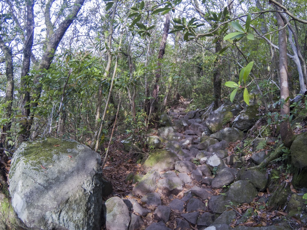
DEC Mt. Yatsugatake (2,899m)* Mt. Kogashi (582m)
NOV Mt. Kogashi (582m)
OCT Mt. Iwate (2,038m)* Mt. Hirugatake (1,673m) Mt. Asama (2,568m)*
SEP Mt. Ryogami (1,723m)*↓ Mt. Utsukushigahara (2,034m)* Mt. Hiuchi (2,462m)* Mt. Myoko (2,454m)* Mt. Kashima-Yarigatake (2,889m)* Mt. Goryudake (2,814m)* Mt. Nikko-Shirane (2,578m)*
AUG Mt. Ontake (3,067m)* Mt. Kiso-Komagatake (2,956m)*↓
JUL Mt. Kai-Komagatake (2,967m)* Mt. Kasatori (1,953m)
JUN Mt. Kirigamine (1,925m)* Mt. Tateshina (2,531m)* Mt. Adatara (1,699m)* Mt. Bandai (1,816m)*
MAY Mt. Kusatsu-Shirane (2,160m)* Mt. Myogi (1,103m) Mt. Hiuchigatake (2,356m)* Mt. Zao-Okama (1,758m)*
APR Mt. Karasawadake (3,103m) Mt. Kenashiiwa (1,300m) Mt. Makihata (1,967m)* Mt. Takegawadake (1,051m)
MAR Mt. Kumotori (2,017m)* Mt. Yatsugatake (2,899m)* Mt. Tanzawa (1,567m)*
FAB Mt. Tanigawadake (1,977m)*↓
JAN Mt. Nyugasa (1,955m) Mt. Tonodake (1,491m)
I'm not sure below because I forgot where I climbed.
【2013】
DEC Mt. Kitayatsugatake (2,840m) Mt. Tanigawadake (1,977m)*↓
NOV Mt. Yatsugatake (2,899m)*
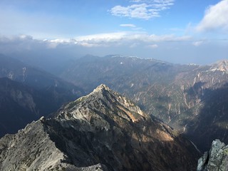
JUN Mt. Joshu-Hotaka (2,158m)* Mt. Tanigawa (1,977m)*
MAY Mt. Joshu-Hotaka (2,158m)*↓ Mt. Kumotori | Hiryu (2,017m)*
FAB Mt. Tounodake (1,491m)
JAN Mt. Kumotori (2,017m)*
【2012】
DEC Mt. Tounodake (1,491m) Mt. Tanzawa (1,567m)* Mt. Kumotori (2,017m)*
SEP (0m)
AUG Mt. Akagi (1,828m)*
【2011】
AUG Mt. Tsukuba (877m)*
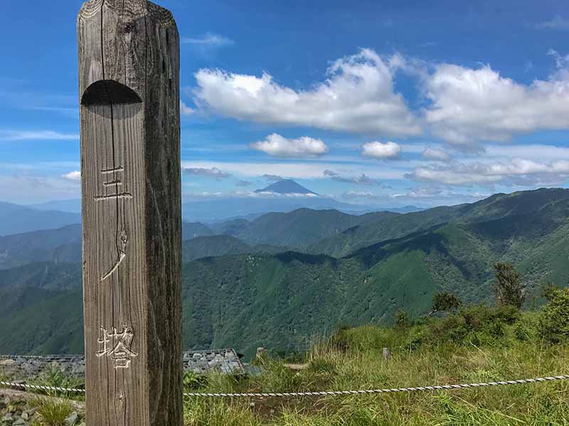
MAY Mt. Tounodake (1,491m)
【2010】
SEP Mt. Gumo (977m)
【2009】
JUL Mt. Fuji (3,776m)*