Mt. Kiso-Komagatake climbing record
For this climb Exertion Level:★★☆☆☆ Difficulty Level:★★☆☆☆ Scenic Level:★★☆☆☆
For this climb
Exertion Level:★★☆☆☆
Difficulty Level:★★☆☆☆
Scenic Level:★★☆☆☆

This Mountain's Information
Schedule
- □ Duration:1 Day
- □ Term of Climbing:02.12.2017 ~ 02.12.2017
- □ Date at Summit: 02.12.2017
Weather
- □ Weather:Cloudy
- □ Highest Temperature:-12.0°C
- □ Lowest Temperature:-20.0°C
Climbing Course
- □ Distance:3.6km
- □ Cumulative Elevation:300m
- □ Course:Via Senjojiki Col
- □ Further Information:For the first hour, from Senjojiki Col, it was almost flat road so I enjoyed walking on snow without any difficulties. Gradually it was getting steep and the wind was getting stronger. I don't recommend using snowshoes because in the end we had to change our snowshoes into crampons because the roads had gotten too steep and were covered in icy snow. Furthermore, under bad situations like falling temperature and strong winds, it's not easy to change equipment. Before getting to ridge line, there are very steep roads, so I had to crawl using all of my body, it's managed using an ice ax, and no rope was needed.
Approach to Starting Point
- □ Transportation:Car
- □ Time to Starting Point:About 4 and a half hours one way by car.
- □ Further Information:From Ohmiya to Komagane IC via the central highway line.
※ I stayed at the parking lot in my car. There's a toilet with a feating system. And the price was very reasonable; it costs 600 Yen at once(The price don't count how long one stay there).
Location
The Map of Climbing Course

Altitude × Temperature

Download GPS Data
My Impressions
I thought the weather would be fine because we had such nice weather on the morning before I climbed to the Senjojiki-Col. When I got off from the Ropeway, I was shocked to discover; very cold weather and I couldn't see distant objects due to white-out. There was no choice but to continue the climb.
In the end, I couldn't reach the summit because of the bad weather. I found it impossible to climb under these conditions.
My face was frostbitten. It was not so serious, but the doctor said it could take up to half of year to recover and the skin might scar. I didn't use a mask made from thick fabric, it was too thin so it might have contributed to the frostbite. Important lessons were learned.
Video Gallery
Photo Gallery

I was waiting a bus to ride the ropeway. It was so nice weather, so I was confident this climb would be successful.

There were a few dozen of people to line to get on a bus. But, no worries because the company adjusted how many bus use for climber, so all of us sat during getting to the ropeway.

I couldn't believe how the weather different between before and after to ride the ropeway.

I could dimly see others who got on the same ropeway.

Here are also some climbers...

The weather was never cleared all day until I got to reach bus station.

It looked like being nice weather...

I joined to others, they spent a lot of times to walk on the deep snow.

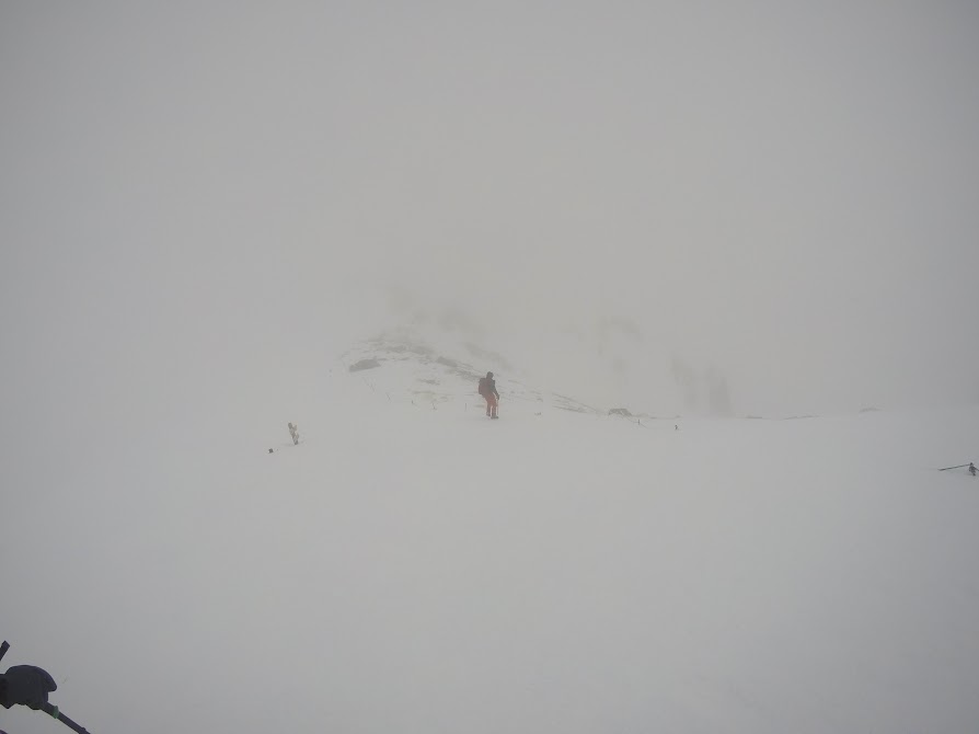
It was getting steep roads. Snowshoes should not be used this situations to avoid a slip accident.
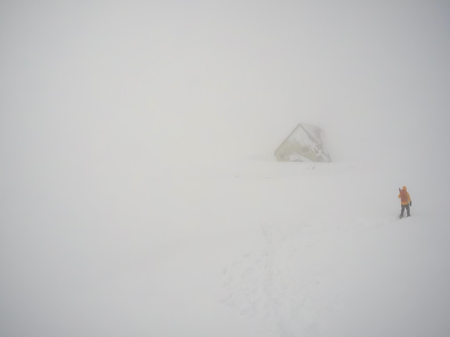
Sometimes, I didn't know where I should walk because of white-out.

Some people was going back, but I was not sure if they got reached at the summit.

I used my GoPro at the first time. I'm not used to control it, so some pictures are leaned both sides.

Although I felt so hungry, I barely ate this one because of the low temperature.
Everyone climbed at the same time, but going down time was inconsistent.
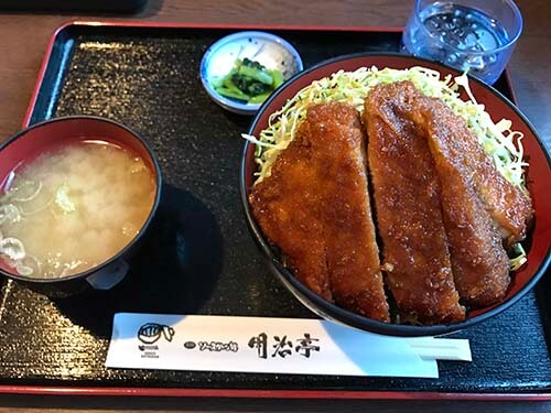
It is famous stuff in this area. It was not bad besides high price.

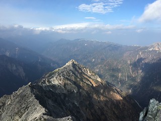
I was looking back on today's climb with the view of Suwa Lake.