Mt. Iwaki climbing record
For this climb Exertion Level:★★☆☆☆ Difficulty Level:★☆☆☆☆ Scenic Level:★★☆☆☆
For this climb
Exertion Level:★★☆☆☆
Difficulty Level:★☆☆☆☆
Scenic Level:★★☆☆☆

This Mountain's Information
- □ Altitude:1,625m
- □ Location:Aomori Prefecture, Hirosaki (Click to view larger map)
Schedule
- □ Duration:1 Day
- □ Term of Climbing:09.03.2016 ~ 09.03.2016
- □ Date at Summit: 09.03.2016
Weather
- □ Weather:Cloudy
- □ Highest Temperature:27.0°C
- □ Lowest Temperature:20.0°C
Climbing Course
- □ Distance:7.7km
- □ Cumulative Elevation:1,445m
- □ Course:From the Iwaki shrine to The Hachigome parking lot via Mt. Iwaki's summit
- □ Further Information:Time Schedule
6:30 The Super Hotel ⇒ 7:10 Bus Station ⇒ 8:00 Iwaki Shrine ⇒ 11:33 Shakujo-Shimizu ⇒ 12:20 Mt. Iwaki ⇒ 12:40 Started going down ⇒ 13:20 Hachigome Parking Lot ⇒ 13:45 Got on the bus bound for Gaku Hotspring
Approach to Starting Point
- □ Transportation:Express Bus
- □ Time to Starting Point:About 8 hours one-way by overnight bus from Hirosaki station to Omiya, and about a hour one-way by bus from Hirosaki station to Iwaki shrine.
- □ Further Information:I recommend not to using the bus from Hirosaki station to Mt. Iwaki because it was very expensive and the service is poor. I think it's better to rent a car at Hirosaki station. Then, you can easily access the sightseeing spots.
Location
The Map of Climbing Course

Altitude × Temperature

Download GPS Data
My Impressions
There are two mountains in Aomori Prefecture that are among the designated 100 famous mountains of Japan. Aomori is very far from here (Saitama Prefecture), so I can't go there often, that is why I wanted to climb both of them on the same trip. I'll focus on Mt.Iwaki in this post.
Mt.Iwaki is located in Hirosaki city. If you go there you can see the mountain from almost anywhere because it stands out from the rest of the landscape.
While climbing the mountain, you might come across two difficulties. Firstly, the hot weather. Because I had to start climbing from the lower place(180m of altitude) it was very hot. The other issue is that the climb can be exhausting because of the shape of the mountain. (There's no flat path.) At 1,200m of altitude, I could feel the cold breeze and I could drink cold water from the mountain spring. After drinking some refreshing water, I was able to regain my strength and continue climbing.
Climbing this mountain is tough, but you can also get to the top by car or cable car. Therefore there were many people at the summit once I got there. However most of them were not climbers.
Video Gallery
Photo Gallery
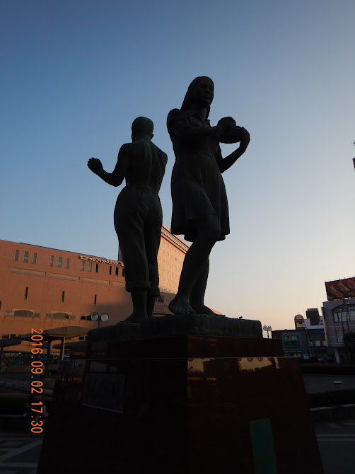
Here's Hirosaki station in Aomori prefecture. This town is famous for a apple-producing district. They, the bronze statue, have apples on their hands.

I could see my target from the bus I rode.

I started my climb from Iwaki shrine. It was so peaceful place.

Let's get started it!

Good weather!

It's rare. I've never seen this flower before.

That day was so hot. After drinking that spring-water, I could recover my energy.

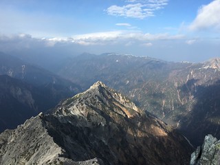
That's my target. It was the last time that I could see the blue sky that day.

My target is not so far from here. It would take a time for 40 minutes.

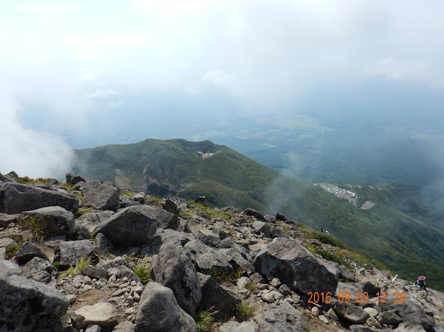
Around the summit, there were many rocks, but it was not difficult to climb.

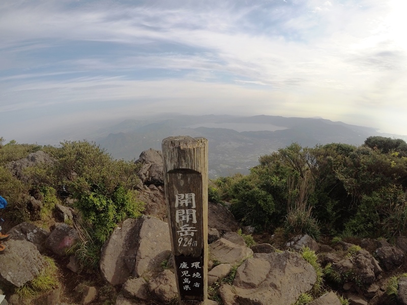
The summit. Why the ring was made? For what?
It's time to go back home! I'm so sorry I couldn't enjoy the views at the summit.
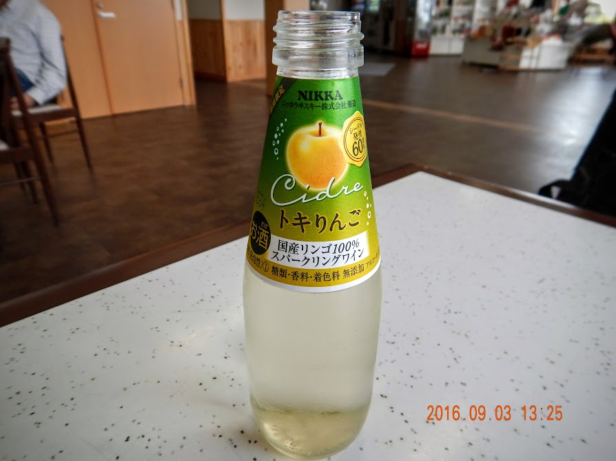
This is a alcohol drink made by apples.

I bought a apple to try out how it tastes. I think Korean-apple is better. My hometown, Daegu city, is also famous for apple.
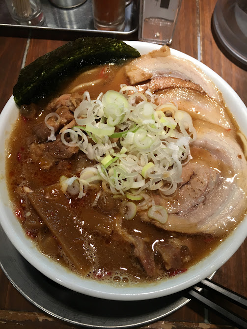
There was a Ramen-shop the name of BAN in front of Sakura department in Hirosaki city. That was not bad taste.