Mt. Ena climbing record
For this climb Exertion Level:★★☆☆☆ Difficulty Level:★☆☆☆☆ Scenic Level:★★☆☆☆
For this climb
Exertion Level:★★☆☆☆
Difficulty Level:★☆☆☆☆
Scenic Level:★★☆☆☆

This Mountain's Information
- □ Altitude:2,191m
- □ Location:Nakatsugawa City, Gifu Prefecture (Click to view larger map)
Schedule
- □ Duration:1 Day
- □ Term of Climbing:05.02.2017 ~ 05.02.2017
- □ Date at Summit: 05.02.2017
Weather
- □ Weather:Mostly Sunny
- □ Highest Temperature:14.0°C
- □ Lowest Temperature:1.0°C
Climbing Course
- □ Distance:12.5km
- □ Cumulative Elevation:1,200m
- □ Course:Hirogawahara Course
- □ Further Information:Time Schedule
5:00 Parking Lot → 5:20 Hirogawahara Climbing Entrance → 8:00 Mt. Ena Summit → 9:00 Starting Descent → 10:40 Parking Lot
Approach to Starting Point
- □ Transportation:Car
- □ Time to Starting Point:About 2.5 hours from Mt. Arashimadake to parking lot, and about 4.5 hours from parking lot to Omiya by car
- □ Further Information:Mt. Arashimadake - Tokai-Hokuriku Highway - Tokai-Kanjo Highway - Central Highway -(Mt. Ena)- Central Highway - Metropolitan Highway - Omiya Station
※ There is a toilet at the parking lot. But I have no idea its conditions because I didn't use it.


My Impressions
I had already climbed two mountains before attempting this one, so I was already tired before I started. The Car-trip was not comfortable, due to the chilly weather. Even in spring, it was just one degree Celsius. I suppose the temperature at the place that I stayed goes down so easily because it is located in the valley, where there is a mountain-stream. That might have been why the temperature was lower than usual. The chilly weather didn't matter to me. As I started my climb, I warmed up immediately.
There are three possible paths to choose from. I chose the shortest one. I didn't know much about this mountain, so I thought the most popular course would be the best for me, as there would be many more climbers there, than other courses so I wouldn't get lost. On this course, I met a few dozen people during my climb.
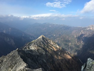
This mountain is known for limited visibility at the summit, so I wasn't looking forward to seeing any great views at the top. You can't see much at the top because the summit is surrounded by tall trees. I tried to find a clearing among the trees. Finally, I found a spot from which I could see almost all of the alps' mountains like Mt. Ontake, Mt. Yari, Mt. Kiso-Komagatake and so on.
I stayed for about one hour at the summit. I usually stay less than 10 minutes at a summit. The nice weather and views made me comfortable, so I felt that the time flew by. Many of climbers didn't realize there was a spot like the one I'd found, so they gave up and missed out on the fabulous views. But, I didn't tell them about the spot I found because I didn't want to interrupt their climb.
There are three possible paths to choose from. I chose the shortest one. I didn't know much about this mountain, so I thought the most popular course would be the best for me, as there would be many more climbers there, than other courses so I wouldn't get lost. On this course, I met a few dozen people during my climb.
This mountain is known for limited visibility at the summit, so I wasn't looking forward to seeing any great views at the top. You can't see much at the top because the summit is surrounded by tall trees. I tried to find a clearing among the trees. Finally, I found a spot from which I could see almost all of the alps' mountains like Mt. Ontake, Mt. Yari, Mt. Kiso-Komagatake and so on.
I stayed for about one hour at the summit. I usually stay less than 10 minutes at a summit. The nice weather and views made me comfortable, so I felt that the time flew by. Many of climbers didn't realize there was a spot like the one I'd found, so they gave up and missed out on the fabulous views. But, I didn't tell them about the spot I found because I didn't want to interrupt their climb.
Video Gallery
Photo Gallery
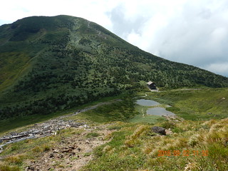
This mountain was surrounded by a lot of flowers and trees.

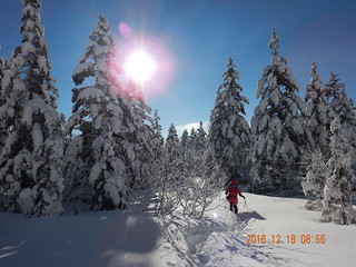
The snow has completely melted until the first walking about 1.5 hours.
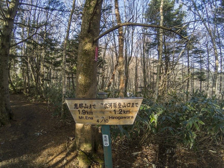
It has just 3.1km of distance from starting point.

As I went up, I could see the views of alps mountains.
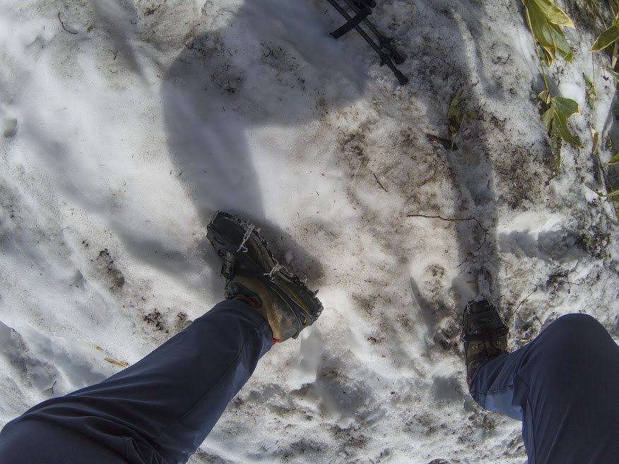
I wore spike-crampons because the path mixed snow with ice was slippy. But, it is not necessity. Almost all of climbers didn't use that kind of equipment.

It is a really good stuff to boost power, so I usually carry 3 or 4 of them every climb.

Finally, the snow will melt down. I'm so sad!
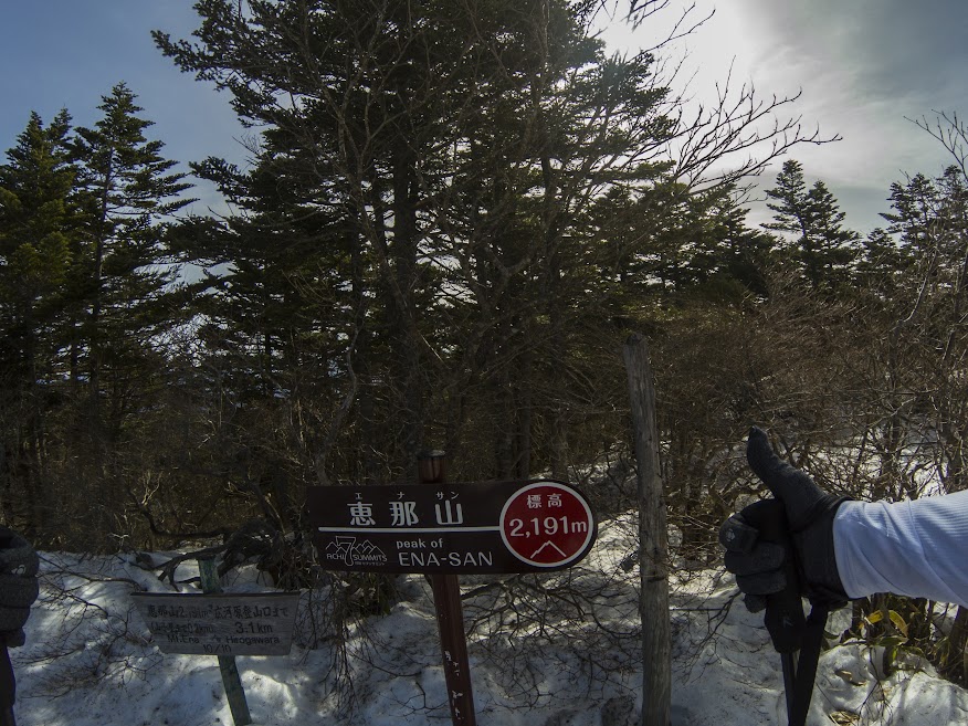
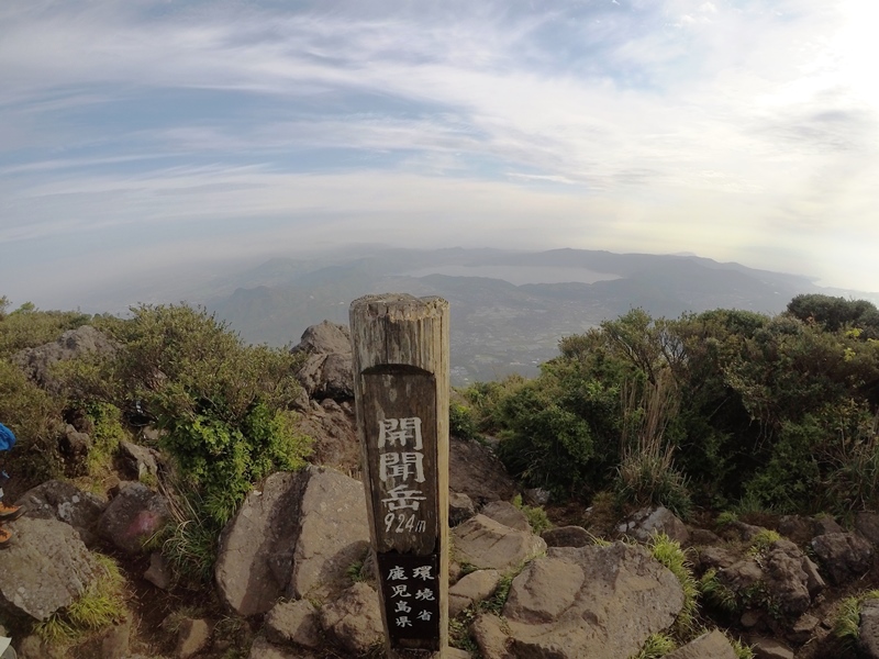
Here's the summit. No views~~!

There have set up some higher place like observatory, but the result was the same.

This is a toilet. It was pretty clean.

It is a emergency lodge. We can stay overnight with free of charge.

There are equipped with some warmer stuffs like blankets.

I found some place that I can look at those alps mountains.

That peaks are the Southern Alps of Japan.

My brave GoPro is working on the tree. Enjoy that video the video gallery below.

Worth it to climb. I stayed this place about 1 hour with the fabulous views.

I walked that ridge line which is closer.

I descent in just 1.5 hours. It was faster than usual. Don't refer my course time to your climb.

I really hate these one. It was super scared.
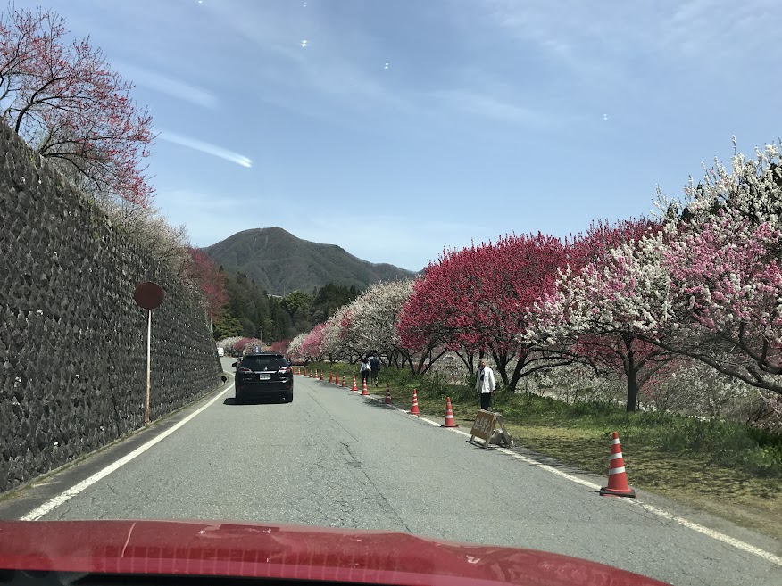
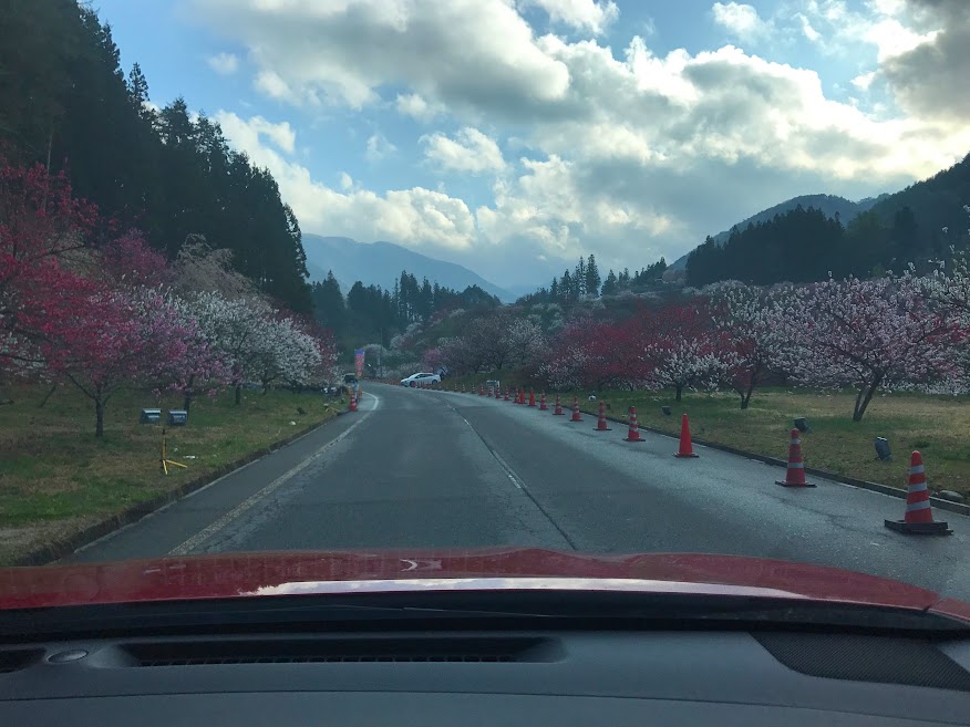
Around this mountain was crowded by people who enjoying the flower festival. I enjoyed from my car.