Mt. Amagi climbing record
For this climb Exertion Level:★☆☆☆☆ Difficulty Level:★☆☆☆☆ Scenic Level:★☆☆☆☆
For this climb
Exertion Level:★☆☆☆☆
Difficulty Level:★☆☆☆☆
Scenic Level:★☆☆☆☆

This Mountain's Information
- □ Altitude:1,406m
- □ Location:Jizodo Izu, Shizuoka Prefecture (Click to view larger map)
Schedule
- □ Duration:1 Day
- □ Term of Climbing:10.01.2016 ~ 10.01.2016
- □ Date at Summit: 10.01.2016
Weather
- □ Weather:Rainy
- □ Highest Temperature:22.0°C
- □ Lowest Temperature:17.0°C
Climbing Course
- □ Distance:8.5km
- □ Cumulative Elevation:600m
- □ Course:I went around in a clockwise direction from a parking lot of Amagi golf course.
- □ Further Information:Time Schedule
5:40 Start → 6:40 Mt. Banjiburo → 7:40 Mt. Banzaburo (1,406m) → 09:10 Amagi Golf Resort
(Ascent 2H, Descent 1.5H, Included break-time)
Approach to Starting Point
- □ Transportation:Car
- □ Time to Starting Point:About 4 hours one way by car
- □ Further Information:From Omiya to Amagi Golf Resort via Tomei highway
※ There is a parking with toilet for hikers, so I could car-stay before the climb.
※ When I went back home, I used the new highway, Izu Skyline. But, there are two things we should keep in mind.
1. The entrance gate was closed when I got there at 11:00 pm. It seems to be out of service at night, so you should check what time you can get there and their service time on the web, in advance.
2. For just one-way, I paid over 2 thousand Yen. Unbelievable, it's so expensive. I recommend you use national roads, although that would take much more time.
Location
The Map of Climbing Course

Altitude × Temperature

Download GPS Data
My Impressions
Mt.Amagi is the only mountain that was designated as 100 famous mountains in Izu Peninsula, Shizuoka Prefecture. Amagi is only the area’s name, so technically, “Mt. Amagi” doesn't exist. It consists of some small mountains. In the Amagi area, the biggest one is Mt. Bunzaburodake, and after that Mt. Bunjirodake. The two mountains were my target for this climb.
I had already achieved climbing all of the 100 famous mountains of the metropolitan area when I decided to climb this one. Actually, this was at the bottom of my priority list, because I thought it's not suitable for my climbing level. As I expected, it wasn't demanding enough to challenge my skills because of the easy and short course. I have no idea why this mountain was designated as one of the 100 famous mountains in Japan. I think there are so many more beautiful mountains.
Anyway, I do not recommend climbing this one unless you absolutely have to check it off your 100 mountains checklist.(the only reason that I did this “climb”.) There's no admirable points in terms of views, heights, sceneries, etc.
Video Gallery
Photo Gallery
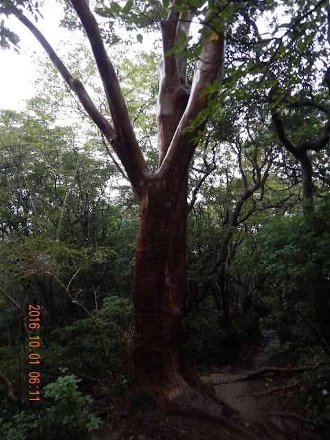
It was a red' colored tree. I have no idea what it's called.
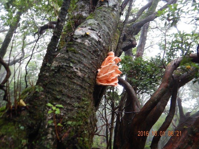
I've never seen this kind of pink-colored mushroom. It might be poisonous, because although there are so many deers it hasn't been eaten by any animals.
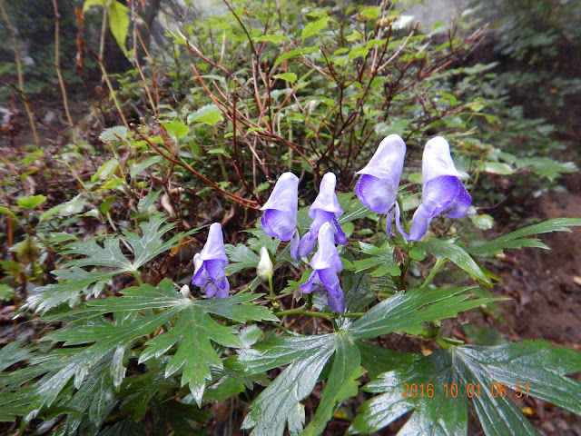
I often saw this flower that I don't know the name of.
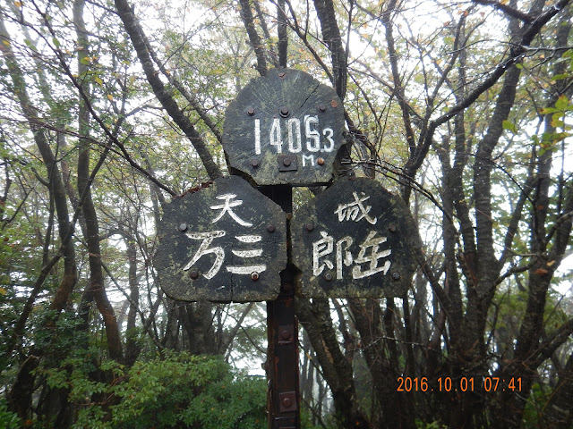
Such a lonely summit, no views, nothing here, why did I climb it?!?! Just it was just one of the 100 Famous Mountains of Japan. That's it.
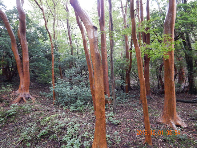
There so many red trees here. Actually these tree are only found in Izu.
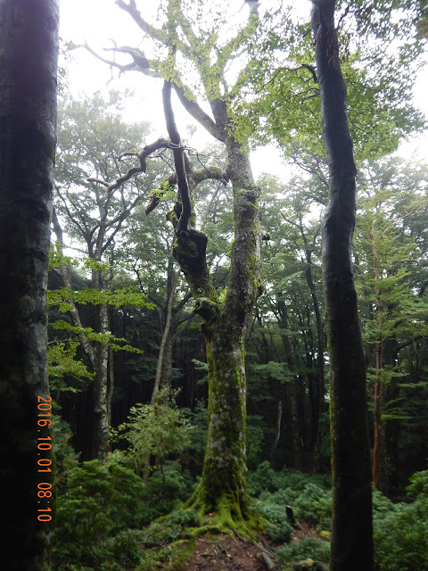
It seems it is usually humid in this area.