Mt. Nyoho climbing record
For this climb Exertion Level:★★☆☆☆ Difficulty Level:★☆☆☆☆ Scenic Level:★★★☆☆
For this climb
Exertion Level:★★☆☆☆
Difficulty Level:★☆☆☆☆
Scenic Level:★★★☆☆

This Mountain's Information
- □ Altitude:2,463m
- □ Location:Nikko Tochigi Prefecture (Click to view larger map)
Schedule
- □ Duration:1 Day
- □ Term of Climbing:11.03.2016 ~ 11.03.2016
- □ Date at Summit: 11.03.2016
Weather
- □ Weather:Cloudy
- □ Highest Temperature:8.0°C
- □ Lowest Temperature:-3.0°C
Climbing Course
- □ Distance:13.5km
- □ Cumulative Elevation:1,100m
- □ Course:From Kirifuri-Kogen via Mt. Akanagi
- □ Further Information:Be warned! There are a thousand of stairs at the start of climb. Be ready to get in some good exercise before starting your climb! After going through Mt. Akanagi, the path becomes narrow and steep. I felt the approach to the summit was much longer than it looked. I recommend to saving your energy during the initial two hours.
Approach to Starting Point
- □ Transportation:Car
- □ Time to Starting Point:2 hours one way
- □ Further Information:From Omiya to Kurihara-Kogen via Nikko and Tohoku highway.
※ There is a parking lot can use free of charge.
Location
The Map of Climbing Course

Altitude × Temperature

Download GPS Data
My Impressions
Mt. Nyoho is one of the 200 most Famous Mountains in Japan and is located in Nikko City. Nikko is a small town, but is famous as a world heritage site. It has big mountains, hot springs and beautiful sightseeing spots.
As for the mountains, There is Mt. Shirane and Mt. Nantai, these are next to Mt. Nyoho. Aside from Mt. Nyoho, all of the other mountains have been designated as being among the 100 most Famous Mountains of Japan. Mt. Taro (also part of this range) is listed among the 300 most Famous Mountains in Japan. Anyway, there are a lot of attractive mountains and climbing courses. I think Mt. Nyoho is also worthy of inclusion among the 100 Famous Mountains in terms of it's height and scenic views.
I climbed this mountain to check the path and conditions in advance of January's climb with my mountain climbing club. I will be taking the role of leader for the team for that climb, so I needed to determine in advance, suitable locations at which we will be able to set up our tents. Because it will be very difficult to complete this climb in one day when it is covered with lots of snow so we will need to camp overnight.
Despite the fact that I couldn't enjoy the beautiful view when I reached the summit because of the bad weather, I didn't mind. Because I know you can never experience every aspects of a mountain, even if you spend a lifetime climbing it. On this occasion, due to the bad conditions, I got to see the mountain covered in snow. If the weather had been good, I would have been able to see the scenery but wouldn't have been able to enjoy the snow. I hope I'll be able to see the fabulous scenery when climbing in January.
Video Gallery
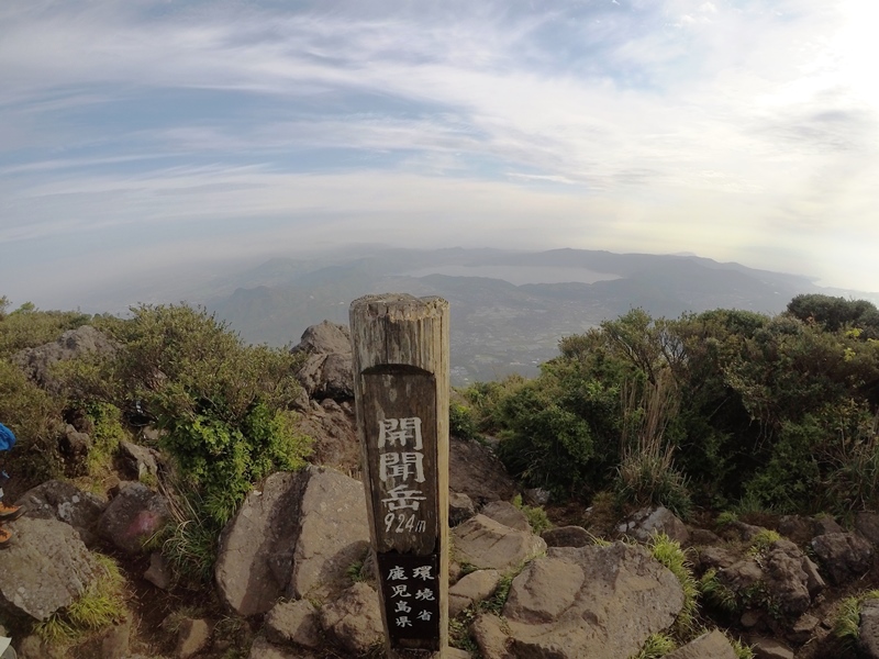
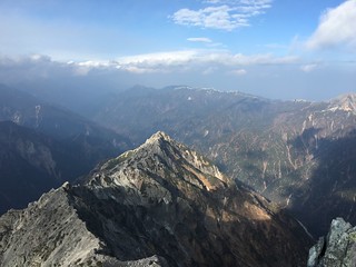
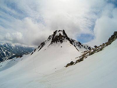
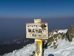
Photo Gallery
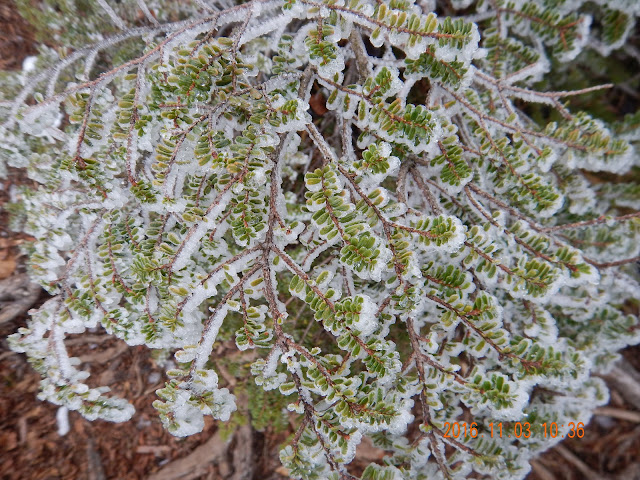
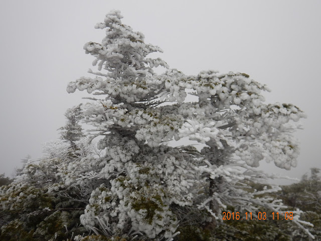
The hoaefrost on a tree was so beautiful.
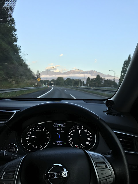
I thought at that time it's gonna be good weather.
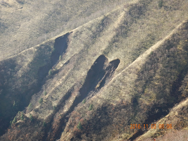
The hart mark was made by a landslide.
I was very sore when these ice hit my head!

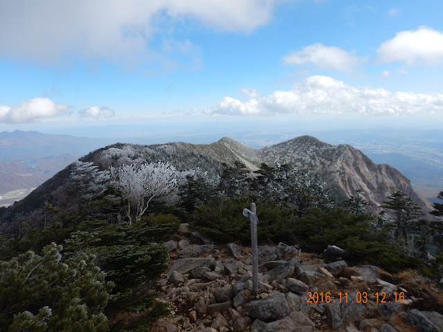
At the summit.

It has a beautiful color that I have never seen.
It's going to be changed from green to white.
The night time must be cold!
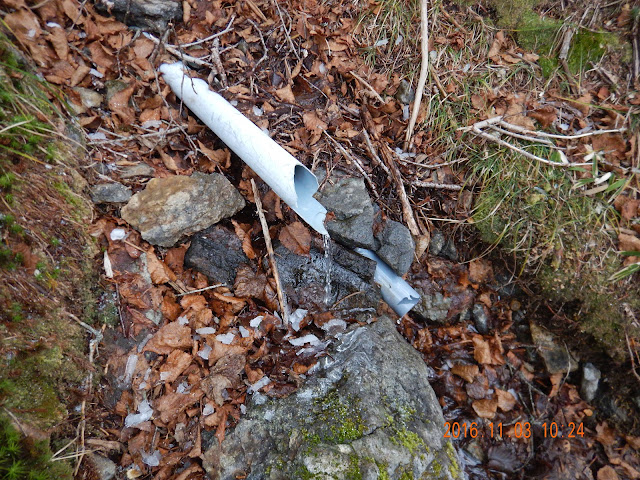
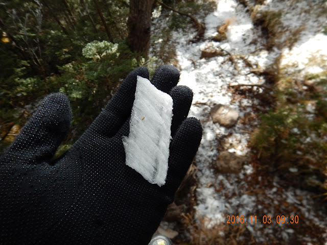
This is springwater. We don't need to bring a lot of water