Mt. Sukai climbing record
For this climb Exertion Level:★☆☆☆☆ Difficulty Level:★☆☆☆☆ Scenic Level:★★☆☆☆
For this climb
Exertion Level:★☆☆☆☆
Difficulty Level:★☆☆☆☆
Scenic Level:★★☆☆☆

This Mountain's Information
Schedule
- □ Duration:1 Day
- □ Term of Climbing:11.05.2016 ~ 11.05.2016
- □ Date at Summit: 11.05.2016
Weather
- □ Weather:Sunny
- □ Highest Temperature:17.0°C
- □ Lowest Temperature:3.0°C
Climbing Course
- □ Distance:7.6km
- □ Cumulative Elevation:800m
- □ Course:Sukaibashi course
- □ Further Information:The path along stream was easy to climb. Before the ridge line, there's about 500 meters of pretty steep path. Overall, this course is intended for beginner climbers.
Approach to Starting Point
- □ Transportation:Car
- □ Time to Starting Point:2 hours highway and 1.5 hours off-road
- □ Further Information:From Omiya to Sukaibashi via Numata IC of Kanetsu highway.
※ There's a little parking lot. I recommend to get there early.
※ I recommend to use a high ground clearance car like SUV type when you drive at Kurihara-rindo(forest path).
Location
The Map of Climbing Course

Altitude × Temperature

Download GPS Data
My Impressions
Mt. Sukai is located between Gunma prefecture and Tochigi prefecture and designated as one of the 100 Famous Mountains in Japan. The access to Sukaibashi, which is the start point of the climb, is a long drive off-road. It has over 20 km one way and takes 1.5 hours by car. It makes for less people. Actually, there were less people, despite being one of the 100 Famous Mountains.
Frankly, I can't wrap my head around why it has been designated as a 100 Famous Mountains. Bad access to the climbing entrance, lower height of summit, no views at summit, it has a lot of such unattractive factors. But I could enjoy driving off-road. I bought for my SUV for these off-roads. If you are planning to go there, you should take into account there's no turning point. And the road might damage your car.
Frankly, I can't wrap my head around why it has been designated as a 100 Famous Mountains. Bad access to the climbing entrance, lower height of summit, no views at summit, it has a lot of such unattractive factors. But I could enjoy driving off-road. I bought for my SUV for these off-roads. If you are planning to go there, you should take into account there's no turning point. And the road might damage your car.
Video Gallery
Photo Gallery
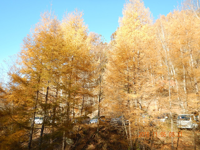
Late fall, the leaves completely changed to yellow.
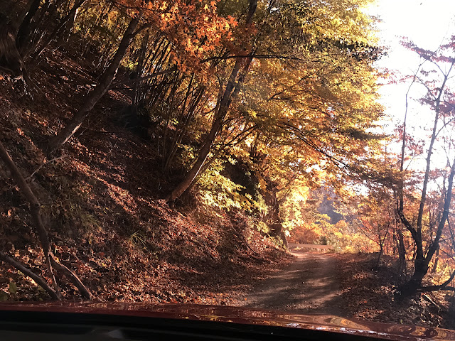
I took this picture from my car on the off-road forest path.
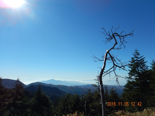
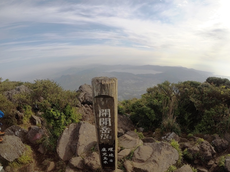
This mountain has no views at summit. Here is one hour before the summit and the best place to view scenery.
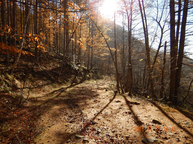
I enjoyed fall season, calm atmosphere.

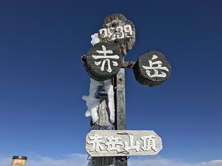
It was starting to change from yellow to white with snow.

Here's the summit! No views... but I wasn't disappoint because I already knew from some pictures on the web.

The summit was crowded by people because it was a small place.

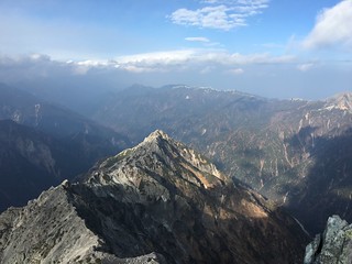
I barely saw the some views. That mountain must be Mt. Nikko-Shirane.

That big hole was made to go through by car.