Mt. Nyoho climbing record
For this climb Exertion Level:★★☆☆☆ Difficulty Level:★☆☆☆☆ Scenic Level:★★★☆☆
For this climb
Exertion Level:★★☆☆☆
Difficulty Level:★☆☆☆☆
Scenic Level:★★★☆☆

This Mountain's Information
- □ Altitude:2,303m
- □ Location:Nikko Tochigi Prefecture (Click to view larger map)
Schedule
- □ Duration:1 Day
- □ Term of Climbing:01.07.2017 ~ 01.07.2017
- □ Date at Summit: 01.07.2017
Weather
- □ Weather:Mostly Sunny
- □ Highest Temperature:7.0°C
- □ Lowest Temperature:-3.0°C
Climbing Course
- □ Distance:10.1km
- □ Cumulative Elevation:1,000m
- □ Course:From Kirifurikogen to Hitosatogasone
- □ Further Information:I didn't use my crampons because of little snow. I think spike crampons are useful because there are some frezon roads.
Approach to Starting Point
- □ Transportation:Car
- □ Time to Starting Point:About 2 hours one way by car.
- □ Further Information:From Omiya to Nikko IC via Tohoku Highway
Location
The Map of Climbing Course

Altitude × Temperature

Download GPS Data
My Impressions
This time, I climbed the mountain with two people who belong to Omiya Gakuryokai which is a mount climbing club of my town. I was the leader. Because of some error of judgement of mine, we couldn't reach the summit. I believed everyone was strong and fast enough to climb so I thought we could do it in just one day. That's why we didn't bring our tents and everyone agreed with my opinion. I climbed this mountain last November to see how it is, and I could climb it in one day. The decision was based on my experiment.
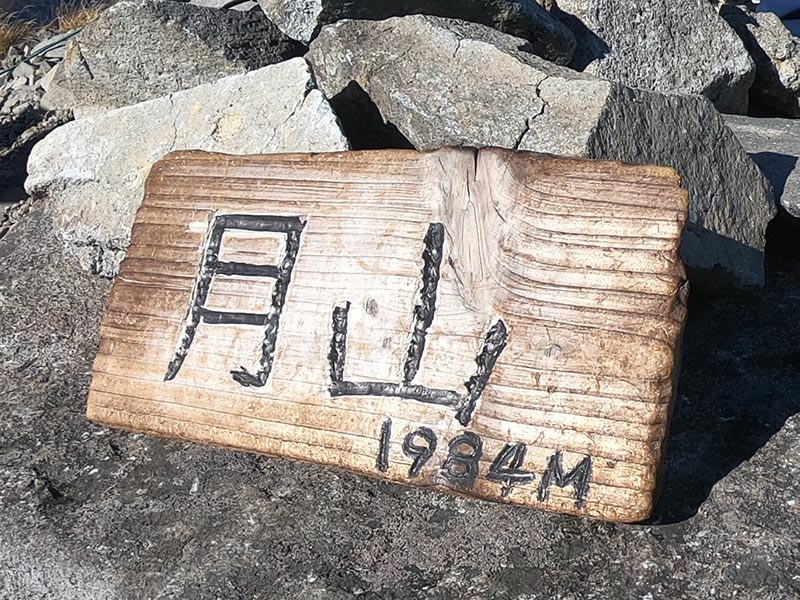
Finally, we didn't have enough time to get to the summit. We returned to Mt. Hitozatogasone which is just one hour to the summit because the sun was going down. I'm so sorry we couldn't climb to the summit.
I found making decisions and instructing members are very difficult when I climb a mountain as the leader, because I didn't understand how fast they could climb or have the stamina or skills. I had to judge by my own feeling from my experiments. First of all, I had to make a decision putting safe first; that's why we gave up trying for this summit.
Video Gallery
Photo Gallery

I was fortunate this weather. The weather was so nice everytime I climbed.
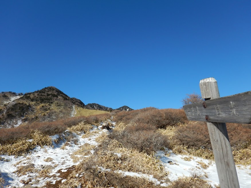
I made up my mind to climb in deep snow with my snowshoes, unbelievably, there's very little snow!

Even on Mt. Akanagi, there's little snow. I was so disappointed.

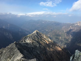
I can see the summit from here, it looks so far away.
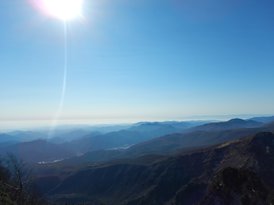
Very nice weather! Furthermore, I didn't feel cold at all.
The snow was getting deeper as we went up.

We decided not to stay this evening on this mountain, so we didn't bring our tents. We had to go down at this point because it would be getting darker and darker in a short while.

We regretted not bringing our tents so that we could climb to the summit the next morning.

Before it went completely dark, we got to a parking lot.